
Kirinda topographic map
Interactive map
Click on the map to display elevation.
About this map
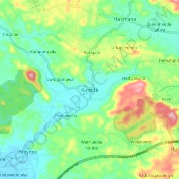
Name: Kirinda topographic map, elevation, terrain.
Location: Kirinda, Matara District, Southern Province, Sri Lanka (6.01234 80.58914 6.09234 80.66914)
Average elevation: 70 m
Minimum elevation: 3 m
Maximum elevation: 213 m