
บ้านไคร่นุ่น topographic map
Interactive map
Click on the map to display elevation.
About this map
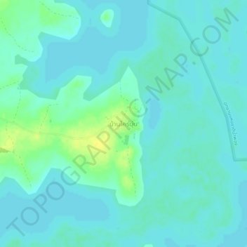
Name: บ้านไคร่นุ่น topographic map, elevation, terrain.
Location: บ้านไคร่นุ่น, จังหวัดขอนแก่น, Thaïlande (16.55473 102.51783 16.59473 102.55783)
Average elevation: 182 m
Minimum elevation: 177 m
Maximum elevation: 197 m