
Corim topographic map
Interactive map
Click on the map to display elevation.
About this map
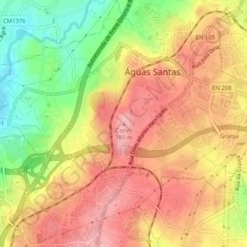
Name: Corim topographic map, elevation, terrain.
Location: Corim, Águas Santas, Maia, Porto, 4425-253, Portugal (41.20196 -8.57696 41.20206 -8.57686)
Average elevation: 113 m
Minimum elevation: 44 m
Maximum elevation: 158 m