
Thank you for supporting this site ❤️
Make a donation
Make a donation
Rempang Cate topographic map
Click on the map to display elevation.
Thank you for supporting this site ❤️
Make a donation
Make a donation
About this map
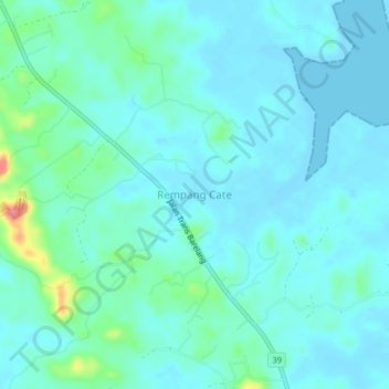
Name: Rempang Cate topographic map, elevation, terrain.
Location: Rempang Cate, Riau Islands, Indonesia (0.87361 104.12124 0.91361 104.16124)
Average elevation: 14 m
Minimum elevation: -1 m
Maximum elevation: 84 m
Thank you for supporting this site ❤️
Make a donation
Make a donation