
Schulhaus topographic map
Interactive map
Click on the map to display elevation.
About this map
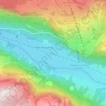
Name: Schulhaus topographic map, elevation, terrain.
Location: Schulhaus, Ried (Muotathal), Muotathal, Schwyz, 6436, Schweiz (46.98603 8.71403 46.98653 8.71520)
Average elevation: 865 m
Minimum elevation: 559 m
Maximum elevation: 1,358 m