
Buterere topographic map
Interactive map
Click on the map to display elevation.
About this map
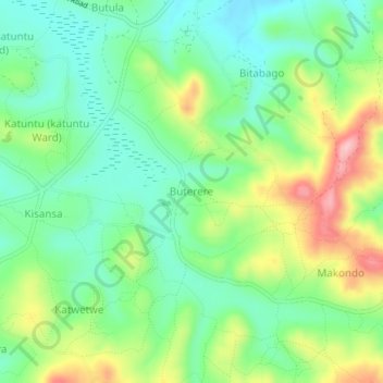
Name: Buterere topographic map, elevation, terrain.
Location: Buterere, Rakai, Central Region, Ouganda (-0.72948 31.42280 -0.68948 31.46280)
Average elevation: 1,271 m
Minimum elevation: 1,208 m
Maximum elevation: 1,388 m