
Shimla topographic map
Interactive map
Click on the map to display elevation.
About this map
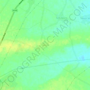
Name: Shimla topographic map, elevation, terrain.
Average elevation: 322 m
Minimum elevation: 314 m
Maximum elevation: 330 m
Other topographic maps
Click on a map to view its topography, its elevation and its terrain.
Kherki
India > Rajasthan > Behror Tehsil
Kherki, Behror Tehsil, Alwar District, Rajasthan, 301701, India
Average elevation: 322 m