
Haus der Flüsse topographic map
Interactive map
Click on the map to display elevation.
About this map
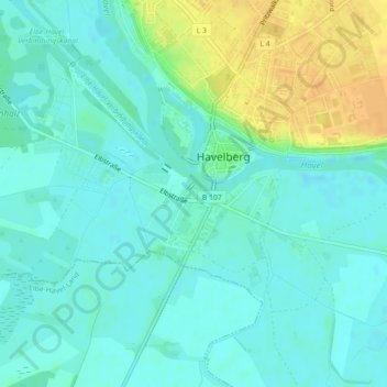
Name: Haus der Flüsse topographic map, elevation, terrain.
Average elevation: 31 m
Minimum elevation: 22 m
Maximum elevation: 52 m
Other topographic maps
Click on a map to view its topography, its elevation and its terrain.
Toppel
Deutschland > Sachsen-Anhalt > Stendal > Havelberg
Toppel, Havelberg, Stendal, Sachsen-Anhalt, Deutschland
Average elevation: 37 m