
Thank you for supporting this site ❤️
Make a donation
Make a donation
Chantilly topographic map
Click on the map to display elevation.
Thank you for supporting this site ❤️
Make a donation
Make a donation
About this map
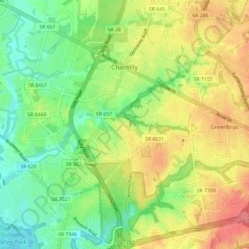
Name: Chantilly topographic map, elevation, terrain.
Location: Chantilly, Fairfax County, Virginia, United States (38.85153 -77.49682 38.91878 -77.39901)
Average elevation: 92 m
Minimum elevation: 63 m
Maximum elevation: 130 m
Thank you for supporting this site ❤️
Make a donation
Make a donation