
Amgaon topographic map
Interactive map
Click on the map to display elevation.
About this map
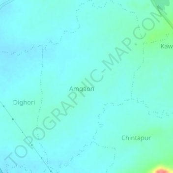
Name: Amgaon topographic map, elevation, terrain.
Location: Amgaon, Bhandara Taluka, Bhandara, Maharashtra, 441804, India (21.11179 79.72696 21.14026 79.74584)
Average elevation: 262 m
Minimum elevation: 252 m
Maximum elevation: 323 m