
Cañaris topographic map
Interactive map
Click on the map to display elevation.
About this map
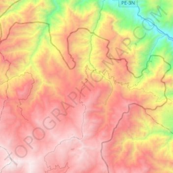
Name: Cañaris topographic map, elevation, terrain.
Location: Cañaris, Ferreñafe, Lambayeque, Perú (-6.15846 -79.42101 -5.97639 -79.17544)
Average elevation: 2,637 m
Minimum elevation: 929 m
Maximum elevation: 4,008 m
Other topographic maps
Click on a map to view its topography, its elevation and its terrain.
San Jose
Perú > Lambayeque > Cañaris > San Jose
San Jose, Cañaris, Ferreñafe, Lambayeque, Perú
Average elevation: 2,899 m