
Grande Prairie topographic map
Interactive map
Click on the map to display elevation.
About this map
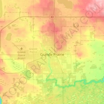
Name: Grande Prairie topographic map, elevation, terrain.
Location: Grande Prairie, Alberta, Canada (55.11247 -118.96176 55.23618 -118.67955)
Average elevation: 665 m
Minimum elevation: 600 m
Maximum elevation: 726 m