
Katsira topographic map
Interactive map
Click on the map to display elevation.
About this map
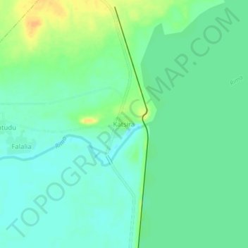
Name: Katsira topographic map, elevation, terrain.
Location: Katsira, Goronyo, Sokoto, Nigeria (13.51042 5.85869 13.55042 5.89869)
Average elevation: 285 m
Minimum elevation: 274 m
Maximum elevation: 304 m