
Thank you for supporting this site ❤️
Make a donation
Make a donation
Las Lisas topographic map
Click on the map to display elevation.
Thank you for supporting this site ❤️
Make a donation
Make a donation
About this map
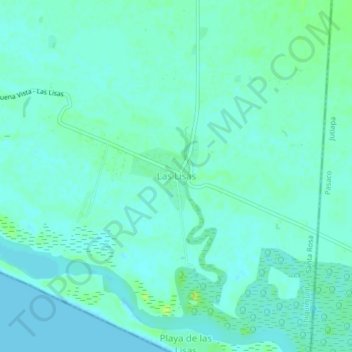
Name: Las Lisas topographic map, elevation, terrain.
Location: Las Lisas, Chiquimulilla, Santa Rosa, Guatemala (13.80099 -90.28483 13.84099 -90.24483)
Average elevation: 4 m
Minimum elevation: 0 m
Maximum elevation: 14 m
Thank you for supporting this site ❤️
Make a donation
Make a donation