
Osaka topographic map
Interactive map
Click on the map to display elevation.
About this map
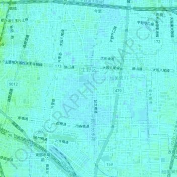
Name: Osaka topographic map, elevation, terrain.
Location: 生野区, Osaka, Präfektur Osaka, Kinki, Japan (34.63317 135.52439 34.66570 135.56391)
Average elevation: 8 m
Minimum elevation: 5 m
Maximum elevation: 14 m
Other topographic maps
Click on a map to view its topography, its elevation and its terrain.