
Hrasdan topographic map
Interactive map
Click on the map to display elevation.
About this map
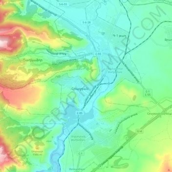
Name: Hrasdan topographic map, elevation, terrain.
Location: Hrasdan, Հրազդան համայնք, Provinz Kotajk, Armenien (40.47950 44.70009 40.56201 44.79645)
Average elevation: 1,817 m
Minimum elevation: 1,675 m
Maximum elevation: 2,212 m