
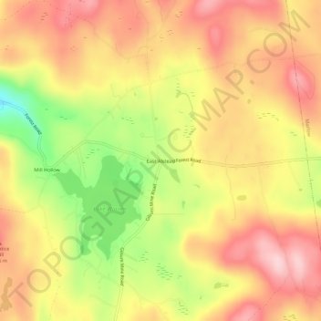
East Alstead topographic map
Interactive map
Click on the map to display elevation.
About this map
Name: East Alstead topographic map, elevation, terrain.
Average elevation: 418 m
Minimum elevation: 286 m
Maximum elevation: 507 m
Other topographic maps
Click on a map to view its topography, its elevation and its terrain.
Alstead Center
United States > New Hampshire > Cheshire County > Alstead > Alstead Center
Alstead Center, Alstead, Cheshire County, New Hampshire, 03602, United States
Average elevation: 371 m