
Velal topographic map
Interactive map
Click on the map to display elevation.
About this map
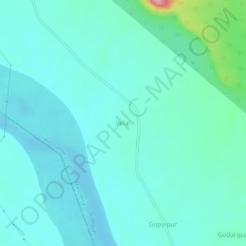
Name: Velal topographic map, elevation, terrain.
Location: Velal, Jaipur mandal, Mancherial District, Telangana, India (18.70141 79.63964 18.74141 79.67964)
Average elevation: 134 m
Minimum elevation: 110 m
Maximum elevation: 264 m