
Neknampur topographic map
Interactive map
Click on the map to display elevation.
About this map
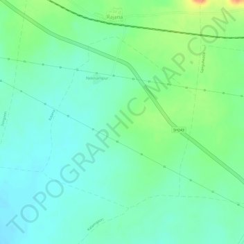
Name: Neknampur topographic map, elevation, terrain.
Location: Neknampur, Chandur Railway, Amravati, Maharashtra, India (20.77309 77.99750 20.79211 78.01565)
Average elevation: 315 m
Minimum elevation: 298 m
Maximum elevation: 347 m