
Aguas Dulces topographic map
Interactive map
Click on the map to display elevation.
About this map
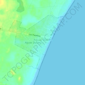
Name: Aguas Dulces topographic map, elevation, terrain.
Location: Aguas Dulces, Rocha, 27002, Uruguay (-34.28620 -53.79468 -34.26885 -53.77329)
Average elevation: 5 m
Minimum elevation: -1 m
Maximum elevation: 20 m