
Murakami topographic map
Interactive map
Click on the map to display elevation.
About this map
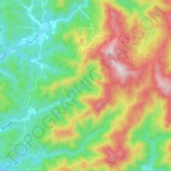
Name: Murakami topographic map, elevation, terrain.
Location: Murakami, 村上市, Prefectura de Niigata, Japón (38.15445 139.41512 38.47445 139.73512)
Average elevation: 265 m
Minimum elevation: -1 m
Maximum elevation: 1,284 m