
Pikeville topographic map
Interactive map
Click on the map to display elevation.
About this map
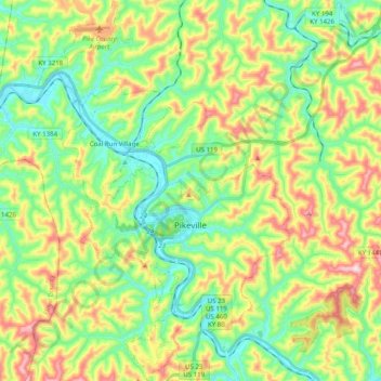
Name: Pikeville topographic map, elevation, terrain.
Location: Pikeville, Pike County, Kentucky, United States of America (37.41472 -82.61046 37.57250 -82.46718)
Average elevation: 338 m
Minimum elevation: 194 m
Maximum elevation: 592 m