
Thank you for supporting this site ❤️
Make a donation
Make a donation
Kuchor Aguni topographic map
Click on the map to display elevation.
Thank you for supporting this site ❤️
Make a donation
Make a donation
About this map
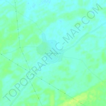
Name: Kuchor Aguni topographic map, elevation, terrain.
Location: Kuchor Aguni, Nokha Tehsil, Bikaner, Rajasthan, India (27.86138 73.68528 27.90138 73.72528)
Average elevation: 284 m
Minimum elevation: 278 m
Maximum elevation: 293 m
Thank you for supporting this site ❤️
Make a donation
Make a donation