
Lago de Paso Palmar topographic map
Interactive map
Click on the map to display elevation.
About this map
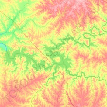
Name: Lago de Paso Palmar topographic map, elevation, terrain.
Location: Lago de Paso Palmar, Río Negro, Uruguay (-33.20975 -57.46919 -32.92360 -56.84467)
Average elevation: 64 m
Minimum elevation: 6 m
Maximum elevation: 132 m
Other topographic maps
Click on a map to view its topography, its elevation and its terrain.