
Thank you for supporting this site ❤️
Make a donation
Make a donation
Audobon Park topographic map
Click on the map to display elevation.
Thank you for supporting this site ❤️
Make a donation
Make a donation
About this map
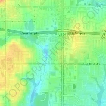
Name: Audobon Park topographic map, elevation, terrain.
Location: Audobon Park, Tulsa, Tulsa County, Oklahoma, United States (36.01747 -95.89083 36.02266 -95.88822)
Average elevation: 215 m
Minimum elevation: 199 m
Maximum elevation: 234 m
Thank you for supporting this site ❤️
Make a donation
Make a donation
Other topographic maps
Click on a map to view its topography, its elevation and its terrain.