
Kukas topographic map
Click on the map to display elevation.
About this map
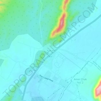
Name: Kukas topographic map, elevation, terrain.
Location: Kukas, Amber Tehsil, Jaipur(Rural), Rajasthan, 303101, India (27.02208 75.87426 27.06208 75.91426)
Average elevation: 421 m
Minimum elevation: 393 m
Maximum elevation: 606 m
Other topographic maps
Click on a map to view its topography, its elevation and its terrain.
Maota Lake
India > Rajasthan > Amber Tehsil > Jaipur Municipal Corporation > Amber
Average elevation: 481 m