
Puerto Almendra topographic map
Interactive map
Click on the map to display elevation.
About this map
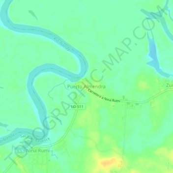
Name: Puerto Almendra topographic map, elevation, terrain.
Location: Puerto Almendra, Provincia de Maynas, Loreto, Perú (-3.84894 -73.39592 -3.80894 -73.35592)
Average elevation: 89 m
Minimum elevation: 79 m
Maximum elevation: 106 m