
Dobhi topographic map
Interactive map
Click on the map to display elevation.
About this map
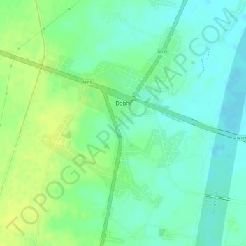
Name: Dobhi topographic map, elevation, terrain.
Location: Dobhi, Gaya, Bihar, India (24.52039 84.89478 24.54168 84.91301)
Average elevation: 154 m
Minimum elevation: 144 m
Maximum elevation: 165 m