
Seehausen topographic map
Interactive map
Click on the map to display elevation.
About this map
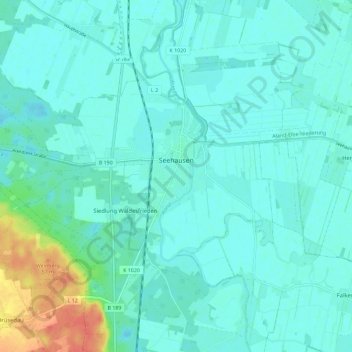
Name: Seehausen topographic map, elevation, terrain.
Location: Seehausen, Stendal, Saksen-Anhalt, 39615, Duitsland (52.85627 11.68029 52.91510 11.79550)
Average elevation: 26 m
Minimum elevation: 17 m
Maximum elevation: 66 m