
Acayucan topographic map
Click on the map to display elevation.
About this map
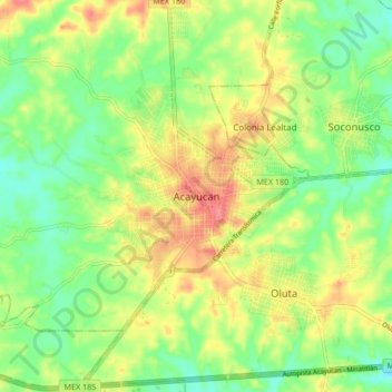
Name: Acayucan topographic map, elevation, terrain.
Location: Acayucan, Veracruz, 96000, Mexico (17.90879 -94.95458 17.98879 -94.87458)
Average elevation: 72 m
Minimum elevation: 41 m
Maximum elevation: 111 m