
Gemeinde Ladis topographic map
Interactive map
Click on the map to display elevation.
About this map
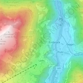
Name: Gemeinde Ladis topographic map, elevation, terrain.
Location: Gemeinde Ladis, Bezirk Landeck, Tyrol, 6532, Austria (47.06054 10.60979 47.10477 10.66141)
Average elevation: 1,358 m
Minimum elevation: 856 m
Maximum elevation: 2,248 m