
Richardson Mountains topographic map
Interactive map
Click on the map to display elevation.
About this map
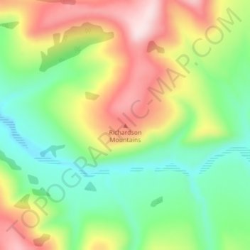
Name: Richardson Mountains topographic map, elevation, terrain.
Location: Richardson Mountains, Yukon, Canada (66.90281 -136.14951 66.90291 -136.14941)
Average elevation: 679 m
Minimum elevation: 538 m
Maximum elevation: 889 m
Other topographic maps
Click on a map to view its topography, its elevation and its terrain.
Dawson City
Canada > Yukon > Dawson City
Dawson City, Town of Dawson City, Yukon, Unorganized, Yukon, Canada
Average elevation: 510 m
Burwash Landing
Canada > Yukon > Burwash Landing
Burwash Landing, Yukon, Unorganized, Yukon, Y1A 3V4, Canada
Average elevation: 828 m