
Thank you for supporting this site ❤️
Make a donation
Make a donation
Kadirur topographic map
Click on the map to display elevation.
Thank you for supporting this site ❤️
Make a donation
Make a donation
About this map
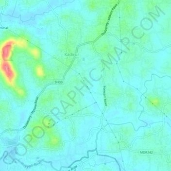
Name: Kadirur topographic map, elevation, terrain.
Location: Kadirur, Thalassery, Kannur district, Kerala, 670642, India (11.75697 75.51200 11.80097 75.55161)
Average elevation: 18 m
Minimum elevation: 2 m
Maximum elevation: 92 m
Thank you for supporting this site ❤️
Make a donation
Make a donation