
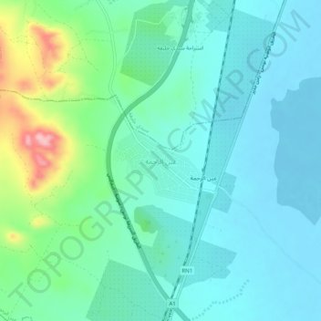
Aïn Errahma topographic map
Interactive map
Click on the map to display elevation.
About this map
Name: Aïn Errahma topographic map, elevation, terrain.
Average elevation: 36 m
Minimum elevation: -5 m
Maximum elevation: 167 m
Other topographic maps
Click on a map to view its topography, its elevation and its terrain.
Pheradi Majus
Tunisie > Gouvernorat Sousse > Ain Errahma > Aïn Errahma
Pheradi Majus, Autoroute Tunis - Sousse - Sfax, Aïn Errahma, Ain Errahma, Délégation Bouficha, Gouvernorat Sousse, Tunisie
Average elevation: 95 m