
Waves topographic map
Click on the map to display elevation.
About this map
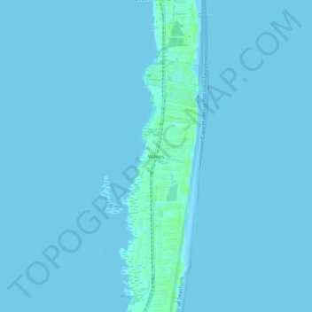
Name: Waves topographic map, elevation, terrain.
Location: Waves, Dare County, North Carolina, 27982, United States (35.54685 -75.48849 35.58685 -75.44849)
Average elevation: 1 m
Minimum elevation: -1 m
Maximum elevation: 7 m