
Llay topographic map
Interactive map
Click on the map to display elevation.
About this map
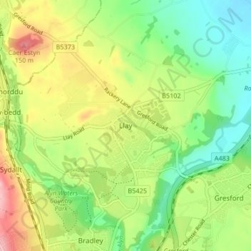
Name: Llay topographic map, elevation, terrain.
Location: Llay, Wrexham, Gales, LL12 0TS, Reino Unido (53.07708 -3.01947 53.11708 -2.97947)
Average elevation: 75 m
Minimum elevation: 17 m
Maximum elevation: 158 m