
Menzingen topographic map
Interactive map
Click on the map to display elevation.
About this map
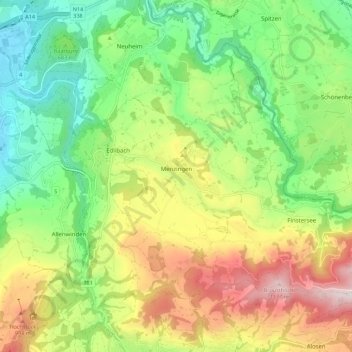
Name: Menzingen topographic map, elevation, terrain.
Location: Menzingen, Zug, 6313, Schweiz (47.14806 8.55440 47.20524 8.66577)
Average elevation: 740 m
Minimum elevation: 443 m
Maximum elevation: 1,195 m