
Glenlivet topographic map
Interactive map
Click on the map to display elevation.
About this map
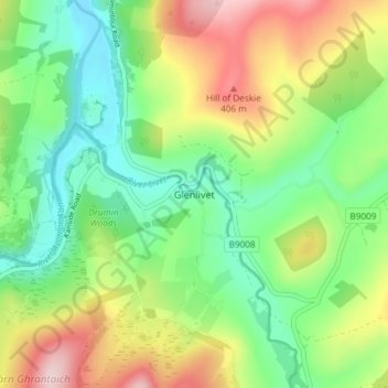
Name: Glenlivet topographic map, elevation, terrain.
Location: Glenlivet, Moray, Écosse, AB37 9BT, Royaume-Uni (57.33196 -3.35808 57.37196 -3.31808)
Average elevation: 280 m
Minimum elevation: 177 m
Maximum elevation: 452 m