
Jawar topographic map
Click on the map to display elevation.
About this map
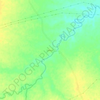
Name: Jawar topographic map, elevation, terrain.
Location: Jawar, Jawar Tahsil, Sehore, Madhya Pradesh, 466221, India (22.98932 76.48081 23.02932 76.52081)
Average elevation: 494 m
Minimum elevation: 481 m
Maximum elevation: 504 m