
Yellow Springs topographic map
Interactive map
Click on the map to display elevation.
About this map
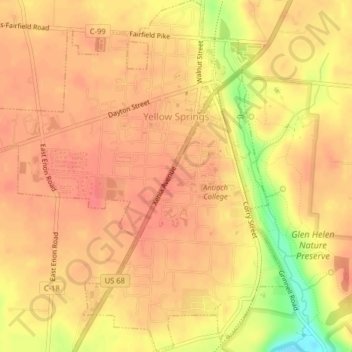
Name: Yellow Springs topographic map, elevation, terrain.
Average elevation: 305 m
Minimum elevation: 258 m
Maximum elevation: 321 m
Other topographic maps
Click on a map to view its topography, its elevation and its terrain.
Xenia
États-Unis d'Amérique > Ohio > Greene County
Xenia, Greene County, Ohio, 45385, États-Unis d'Amérique
Average elevation: 288 m