
Thank you for supporting this site ❤️
Make a donation
Make a donation
Pinnacle Point topographic map
Click on the map to display elevation.
Thank you for supporting this site ❤️
Make a donation
Make a donation
About this map
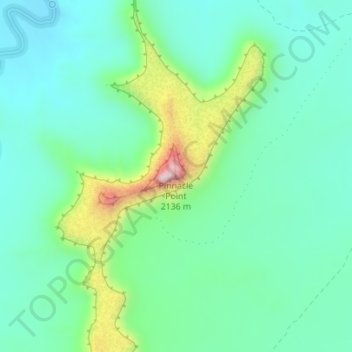
Name: Pinnacle Point topographic map, elevation, terrain.
Location: Pinnacle Point, Emery County, Utah, United States (38.97431 -110.73285 38.97441 -110.73275)
Average elevation: 1,848 m
Minimum elevation: 1,760 m
Maximum elevation: 2,110 m
Thank you for supporting this site ❤️
Make a donation
Make a donation