
Sagai topographic map
Interactive map
Click on the map to display elevation.
About this map
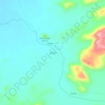
Name: Sagai topographic map, elevation, terrain.
Location: Sagai, Mukjar, Central Darfur State, Sudan (12.26325 23.16924 12.30325 23.20924)
Average elevation: 759 m
Minimum elevation: 719 m
Maximum elevation: 925 m