
Lambert topographic map
Interactive map
Click on the map to display elevation.
About this map
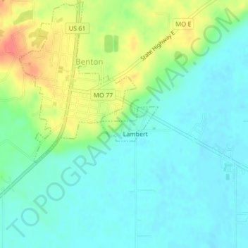
Name: Lambert topographic map, elevation, terrain.
Location: Lambert, Scott County, Missouri, États-Unis d'Amérique (37.09204 -89.55877 37.09581 -89.55082)
Average elevation: 115 m
Minimum elevation: 97 m
Maximum elevation: 155 m