
Thank you for supporting this site ❤️
Make a donation
Make a donation
Theerthamalai topographic map
Click on the map to display elevation.
Thank you for supporting this site ❤️
Make a donation
Make a donation
About this map
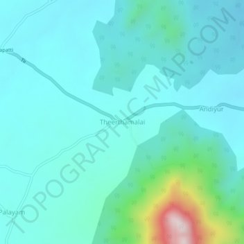
Name: Theerthamalai topographic map, elevation, terrain.
Location: Theerthamalai, Harur, Dharmapuri, Tamil Nadu, India (12.08207 78.57046 12.12207 78.61046)
Average elevation: 365 m
Minimum elevation: 268 m
Maximum elevation: 892 m
Thank you for supporting this site ❤️
Make a donation
Make a donation