
Thank you for supporting this site ❤️
Make a donation
Make a donation
Lansing topographic map
Click on the map to display elevation.
Thank you for supporting this site ❤️
Make a donation
Make a donation
About this map
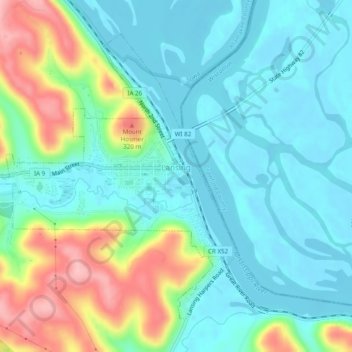
Name: Lansing topographic map, elevation, terrain.
Location: Lansing, Allamakee County, Iowa, United States (43.34660 -91.25598 43.37533 -91.20717)
Average elevation: 228 m
Minimum elevation: 186 m
Maximum elevation: 340 m
Thank you for supporting this site ❤️
Make a donation
Make a donation