
Rieselfeld topographic map
Interactive map
Click on the map to display elevation.
About this map
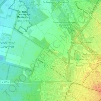
Name: Rieselfeld topographic map, elevation, terrain.
Location: Rieselfeld, Freiburg im Breisgau, Baden-Württemberg, Alemanha (47.99482 7.76535 48.01259 7.80379)
Average elevation: 233 m
Minimum elevation: 216 m
Maximum elevation: 257 m