
Singatam topographic map
Interactive map
Click on the map to display elevation.
About this map
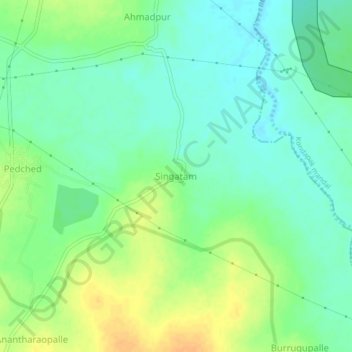
Name: Singatam topographic map, elevation, terrain.
Location: Singatam, Gajwel mandal, Siddipet, Telangana, 502301, India (17.88745 78.70339 17.92745 78.74339)
Average elevation: 529 m
Minimum elevation: 516 m
Maximum elevation: 547 m