
Thank you for supporting this site ❤️
Make a donation
Make a donation
Blackford County topographic map
Click on the map to display elevation.
Thank you for supporting this site ❤️
Make a donation
Make a donation
About this map
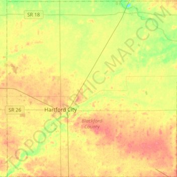
Name: Blackford County topographic map, elevation, terrain.
Location: Blackford County, Indiana, United States (40.37886 -85.44551 40.56723 -85.20103)
Average elevation: 274 m
Minimum elevation: 246 m
Maximum elevation: 296 m
Thank you for supporting this site ❤️
Make a donation
Make a donation
Other topographic maps
Click on a map to view its topography, its elevation and its terrain.