
Rehoyos topographic map
Interactive map
Click on the map to display elevation.
About this map
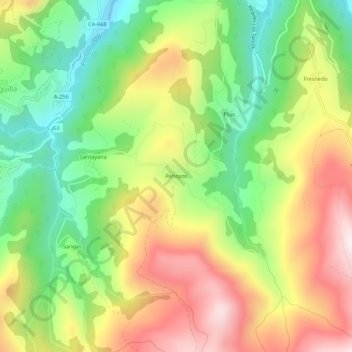
Name: Rehoyos topographic map, elevation, terrain.
Location: Rehoyos, Soba, Asón-Agüera, Cantabria, 39808, España (43.15798 -3.51644 43.19798 -3.47644)
Average elevation: 476 m
Minimum elevation: 183 m
Maximum elevation: 826 m