
Thank you for supporting this site ❤️
Make a donation
Make a donation
Erathna topographic map
Click on the map to display elevation.
Thank you for supporting this site ❤️
Make a donation
Make a donation
About this map
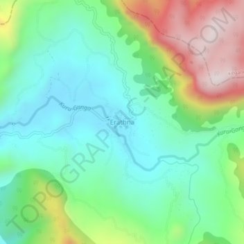
Name: Erathna topographic map, elevation, terrain.
Location: Erathna, Ratnapura District, Sabaragamuwa Province, Sri Lanka (6.81386 80.38845 6.85386 80.42845)
Average elevation: 425 m
Minimum elevation: 191 m
Maximum elevation: 931 m
Thank you for supporting this site ❤️
Make a donation
Make a donation